- By New York State Governor's Office
- News
 Print
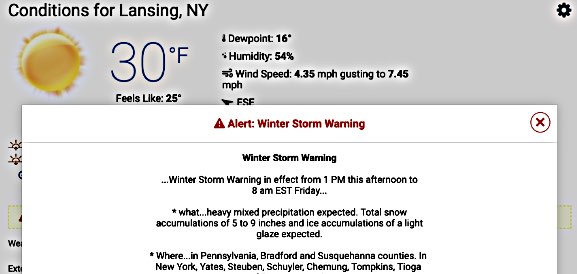
Print Governor Andrew M. Cuomo urged New Yorkers yesterday to prepare for cold and blustery weather moving across the state starting Thursday and ending on Friday afternoon. The storm system moving along the East Coast could bring accumulations of four to eight inches with higher amounts in the southern Adirondacks. New Yorkers should also expect to see slushy and icy conditions during the Thursday evening and Friday morning commutes. Drivers are being urged to travel with extreme caution as the system has the potential to create difficult road conditions.
"Early winter weather is moving through the state this week and I urge New Yorkers to be prepared and to use caution when driving due to reduced visibility and possible black ice," Governor Cuomo said. "We are watching these weather systems and stand ready to assist our local partners as needed."
Beginning Thursday afternoon, all counties north of New York City will be under either a winter weather watch or advisory. Snowfall is expected to total four to eight inches in most of Western New York, the Finger Lakes, Central New York, the Southern Tier, Mohawk Valley and Capital Region. In the North Country and Mid-Hudson regions, two to five inches of snow is expected with the possibility of six to nine inches in higher elevations. The forecast also calls for one to two inches of snow, as well as some sleet and rain, in the New York City and Long Island regions. Finally, a coastal flood advisory will be in effect between 1 a.m. and 5 a.m. Friday morning for the south shore bays of Queens, Nassau and Suffolk counties.
For a complete listing of weather watches, warnings, advisories and latest forecasts, visit the National Weather Service website.
Safe Travel
- Some of the most important tips for safe driving include:
- When winter storms strike, do not drive unless necessary.
- Use caution on bridges as ice can form quicker than on roads.
- Wet leaves on roadways can cause slippery conditions, making it important to drive at slower speeds when approaching patches of them.
- If you must travel, make sure your car is stocked with survival gear like blankets, a shovel, flashlight and extra batteries, extra warm clothing, a set of tire chains, battery booster cables, quick energy foods and brightly colored cloth to use as a distress flag.
- Do not attempt to drive over flooded roads; turn around and go another way. Water moving at two m.p.h. can sweep cars off a road or bridge.
- Watch for areas where rivers or streams may suddenly rise and flood, such as highway dips, bridges and low areas.
- If you are in your car and water begins to rise rapidly around you, abandon the vehicle immediately.
Additionally, the leading cause of death and injuries during winter storms is transportation accidents. Before getting behind the wheel, ensure that your vehicle is clear of ice and snow; good vision is key to good driving. Plan your stops and keep more distance between cars, be extra alert, and remember, snowdrifts can hide smaller children. Moreover, always match your speed to the road and weather conditions.
It's important for motorists on all roads to note that snowplows travel at speeds up to 35 m.p.h., which in many cases is lower than the posted speed limit, to ensure that salt being dispersed stays in the driving lanes and does not scatter off the roadways. Oftentimes on interstate highways, snowplows will operate side by side, as this is the most efficient and safe way to clear several lanes at one time.
Motorists and pedestrians should also keep in mind that snowplow drivers have limited lines of sight, and the size and weight of snowplows can make it very difficult to maneuver and stop quickly. Snow blowing from behind the plow can severely reduce visibility or cause whiteout conditions. Motorists should not attempt to pass snowplows or follow too closely. The safest place for motorists to drive is well behind the snowplows where the roadway is clear and salted.
v14i44


